WI
Muglet Lane, Maltby, ROTHERHAM
By William H. Brown - Lettings
£ 800
William H. Brown - Lettings says ..
***AVAILABLE IMMEDIATELY SUBJECT TO SATISFACTORYU REFERENCES*** EPC RATING: C COUNCIL TAX BAND: A
- Bedrooms
- 2
- Bathrooms
- 1
The heatmap indicates the level of crime in the area. The color of the heatmap indicates the crime severity and recency.
Metrics Year-on-Year
- Average area value
- 1,363,333.00 £Increased by 35.76 %
- Average area rental value
- 2,132.00 £/moIncreased by 10.07 %
- Est rental Yield
- 1.88 %Decreased by 18.61 %
- Crime Rate
- 28.00 %Unchanged by 0.00 %
from 1,004,229.00 £
from 1,937.00 £/mo
from 2.31 %
from 28.00 %
Agent Activity
William H. Brown - Lettings created the listing.
Nearby Schools
| Name | Type | Ofsted | Distance |
|---|---|---|---|
| St Mary'S Catholic Primary School (Maltby) | Academy Converter | Special Measures | 0.01 KM |
| Crags Community School | Academy Converter | 0.37 KM | |
| Stepping Stones Children'S Centre | Children's Centre | 0.51 KM | |
| Maltby Manor Academy | Academy Sponsor Led | Good | 1.42 KM |
| Maltby Academy | Academy Sponsor Led | Good | 1.69 KM |
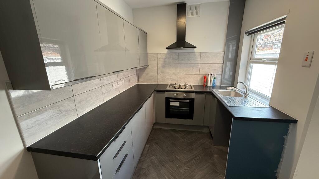
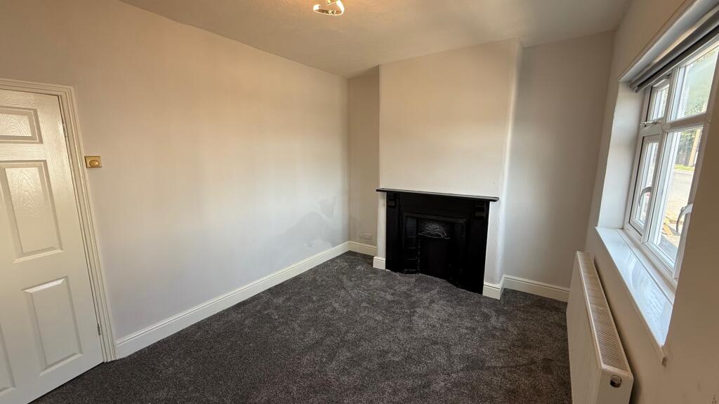
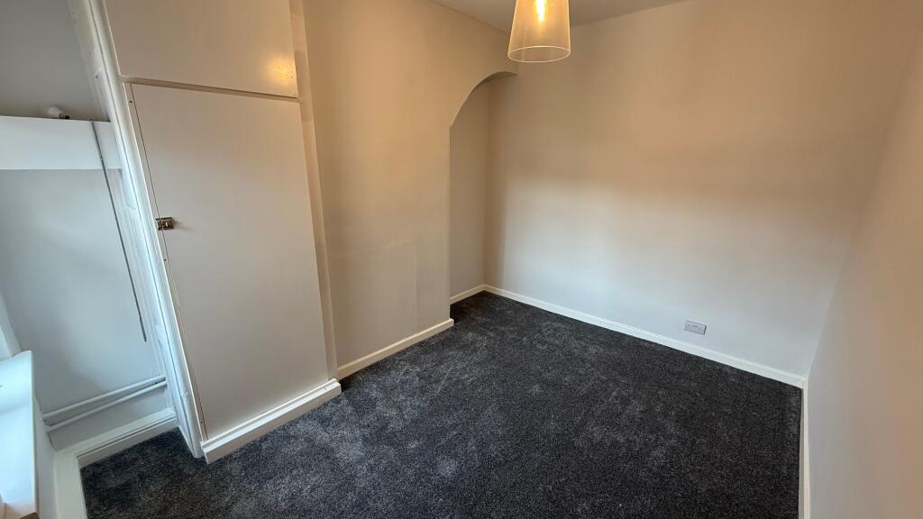
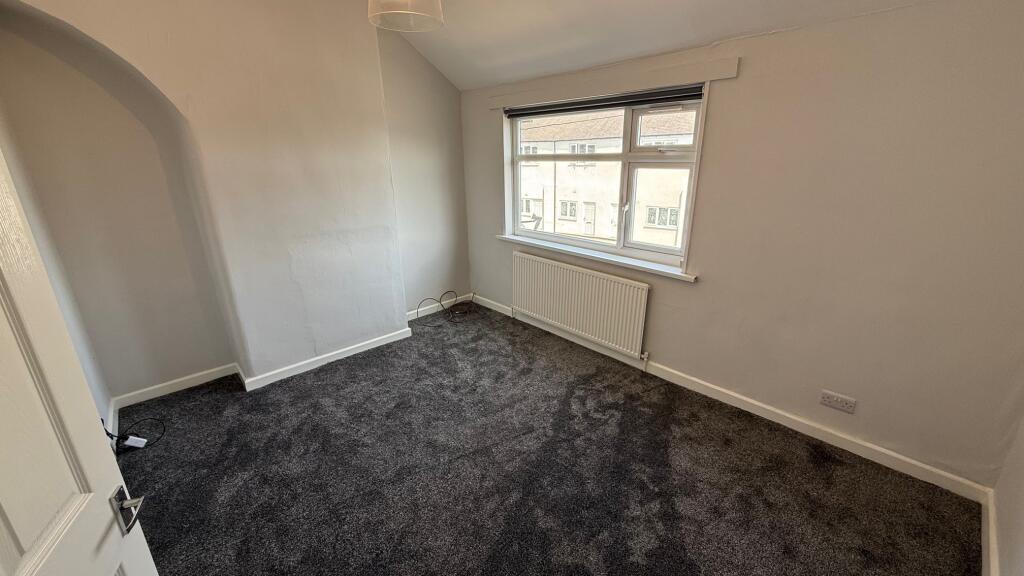
Images


Nearby Streets
| Name | Average Price | Average Sqft | Distance |
|---|---|---|---|
| Somerset Street | £ 0 | 0 | 0.00 KM |
| Albert Street | £ 0 | 0 | 0.00 KM |
| Margaret Street | £ 0 | 0 | 0.00 KM |
| Nelson Road | £ 0 | 0 | 0.00 KM |
| Glencairn Close | £ 0 | 0 | 0.00 KM |
Nearby Transport
| Name | NLC | TLC | Distance |
|---|---|---|---|
| Conisbrough | 6488 | CNS | 8.98 KM |
Nearby Listings
| Address | Price | Type | Score | Distance |
|---|---|---|---|---|
| Muglet Lane, Maltby, ROTHERHAM | £ 800 | RENT | Unknown | 0.00 KM |
| Muglet Lane, Maltby, Rotherham | £ 600 | RENT | Unknown | 0.00 KM |
| Bedford Street,Maltby,S66 | £ 525 | RENT | Unknown | 0.08 KM |
| Albert Street, Maltby | £ 750 | RENT | Unknown | 0.10 KM |
| Scholfield Crescent, Maltby, Rotherham | £ 800 | RENT | Unknown | 0.17 KM |
Nearby Properties
| Address | Price | Distance |
|---|---|---|
| 118 Muglet Lane | £ 46,000 | 0.00 KM |
| 112 Muglet Lane | £ 93,000 | 0.00 KM |
| 126 Muglet Lane | £ 46,000 | 0.00 KM |
| 68 Muglet Lane | £ 50,000 | 0.00 KM |
| 142 Muglet Lane | £ 50,000 | 0.00 KM |