
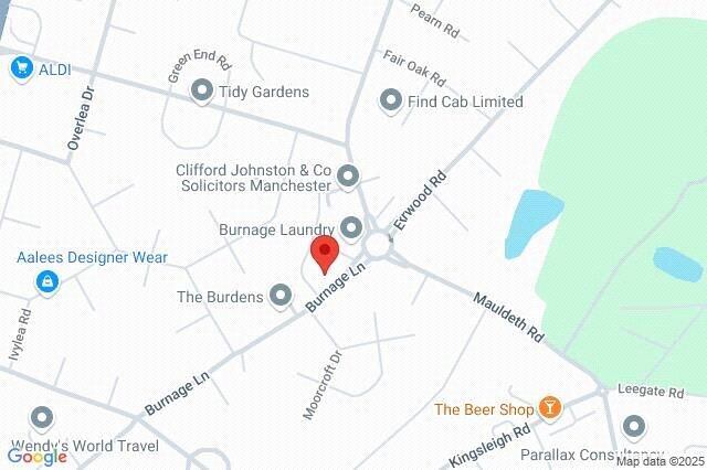
Burnage Lane, Burnage, M19
By Philip James Kennedy
£ 79,950
Reviews
3 out of 5 stars
Philip James Kennedy says ..
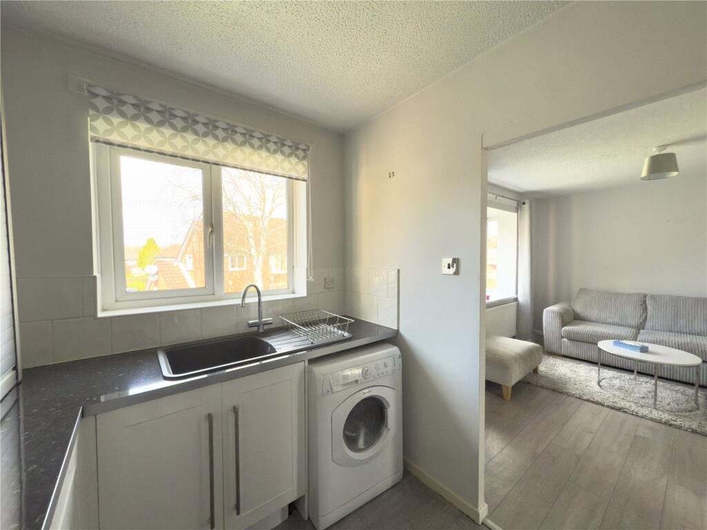
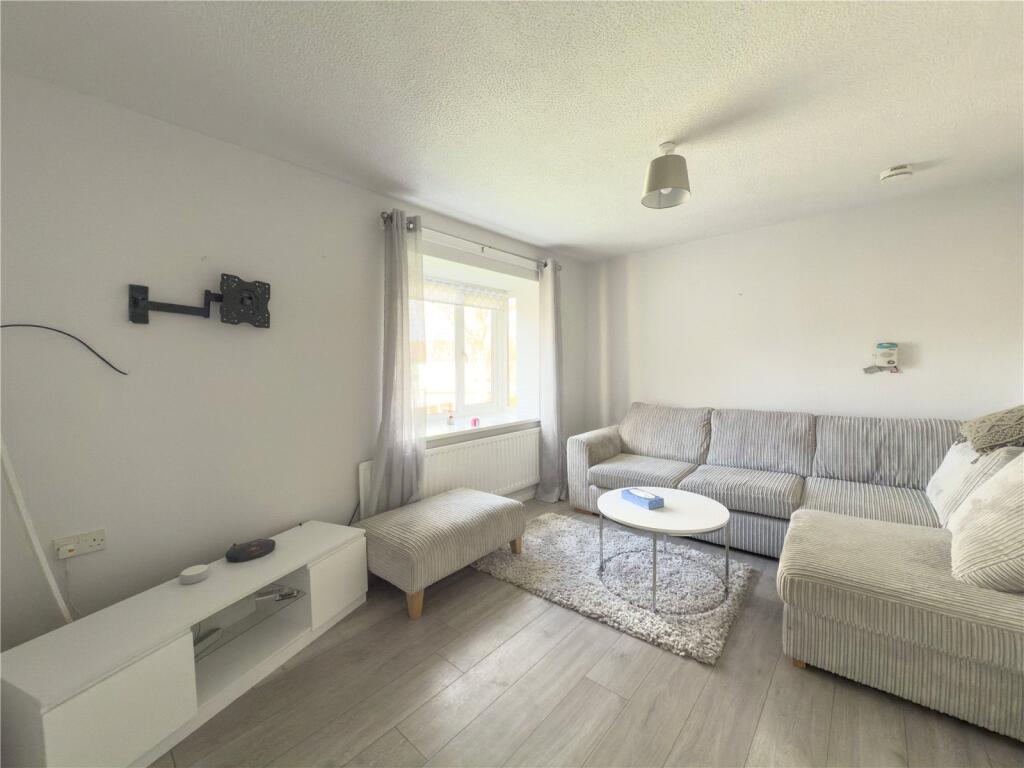
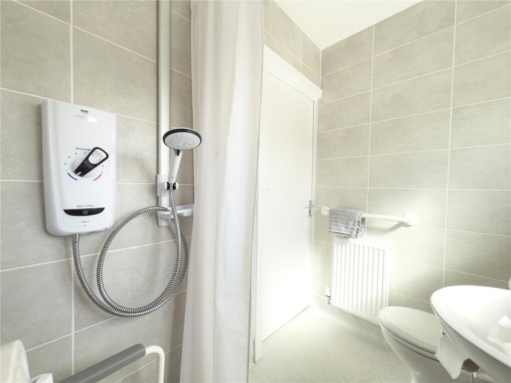
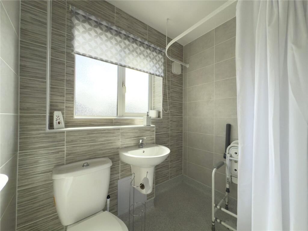
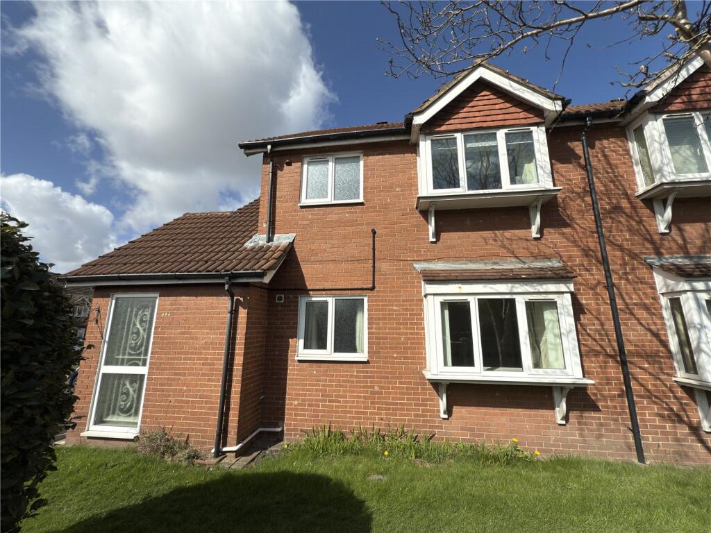
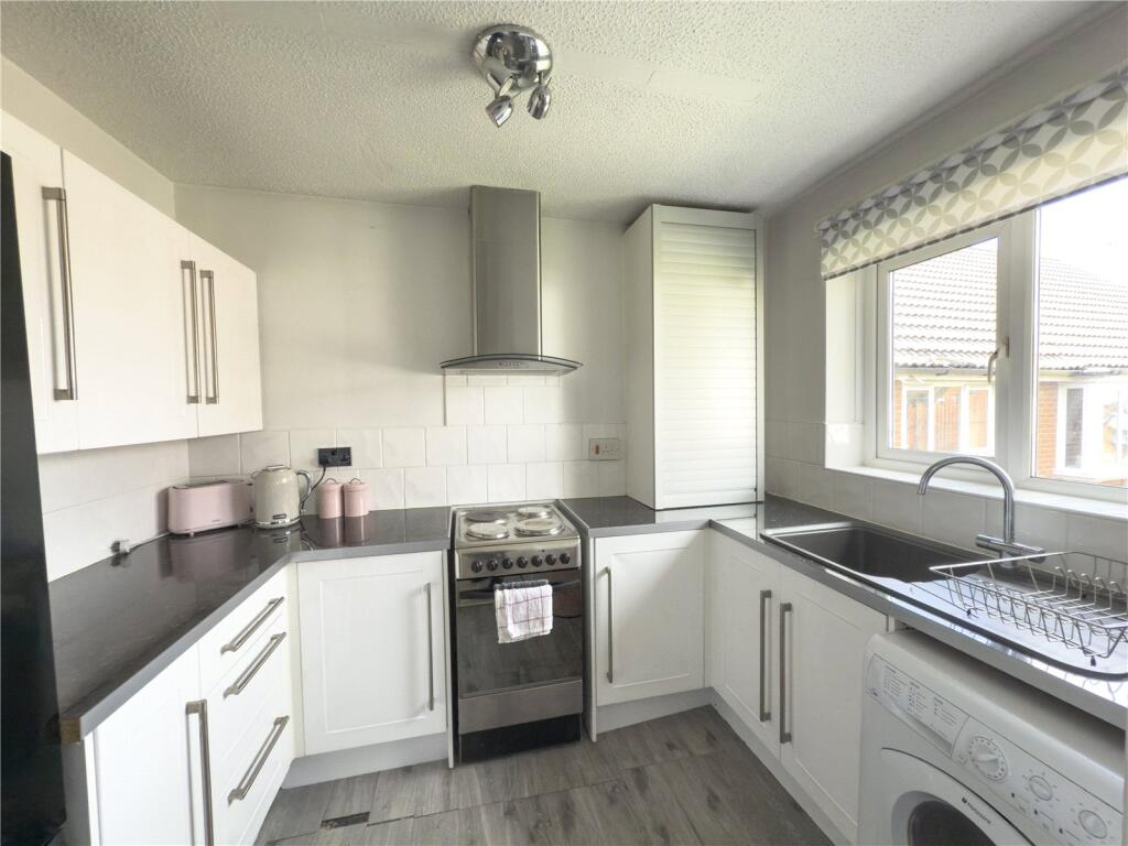
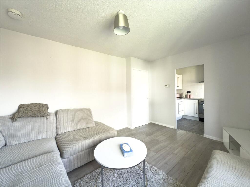
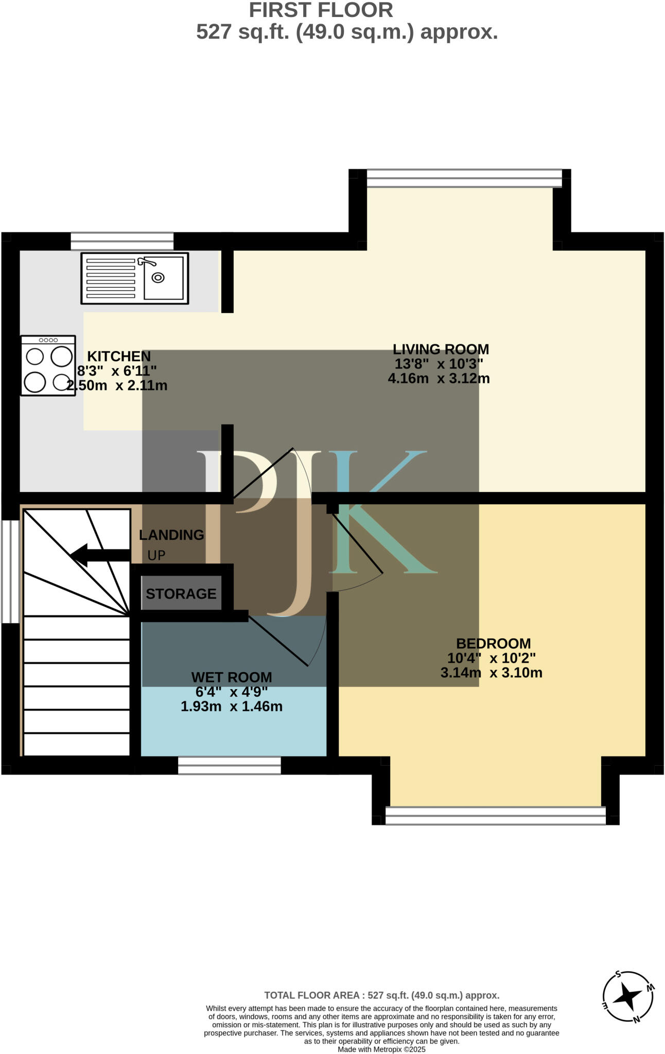
A well-presented, 70% SHARED OWNERSHIP, one bedroom MODERN MAISONETTE for the OVER 60’S, with attractive resident’s shared gardens, located within striking distance of situated within striking distance of Didsbury and Heaton Moor. NO ONWARD CHAIN. 527 Sq.Ft
Property Oracle says ..
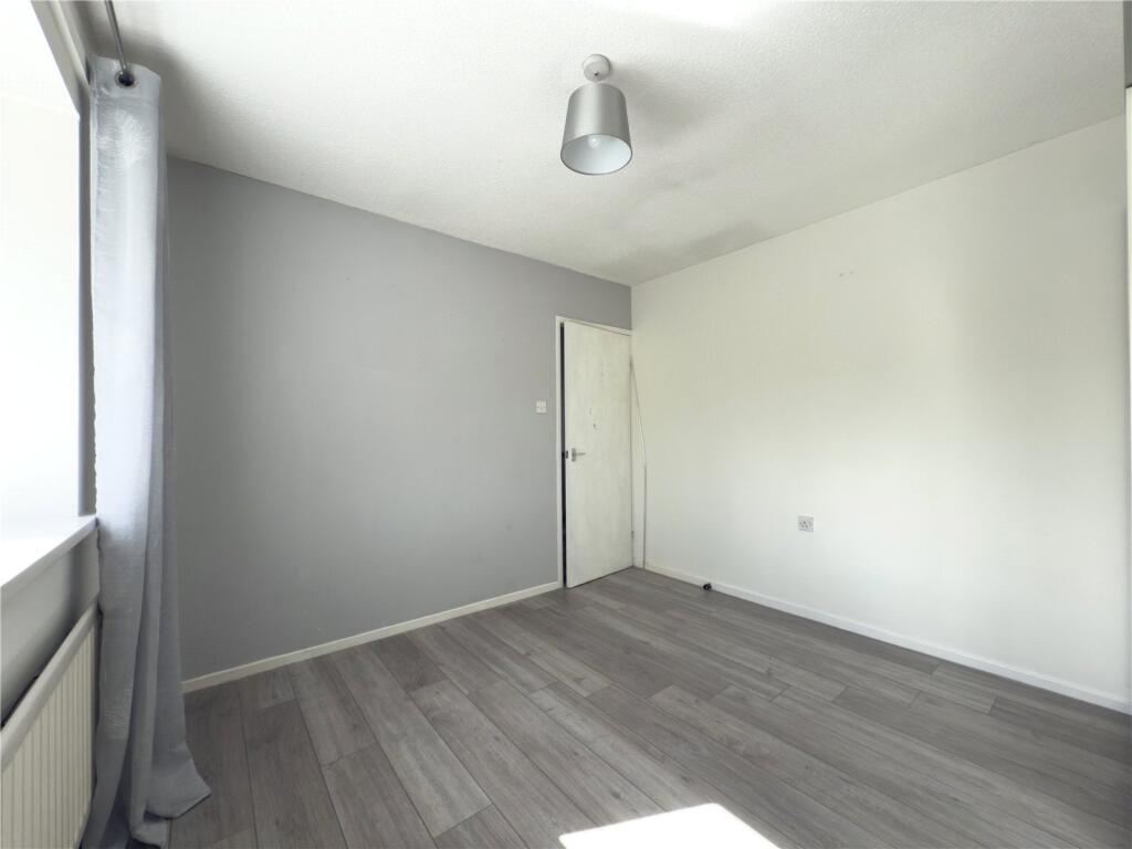
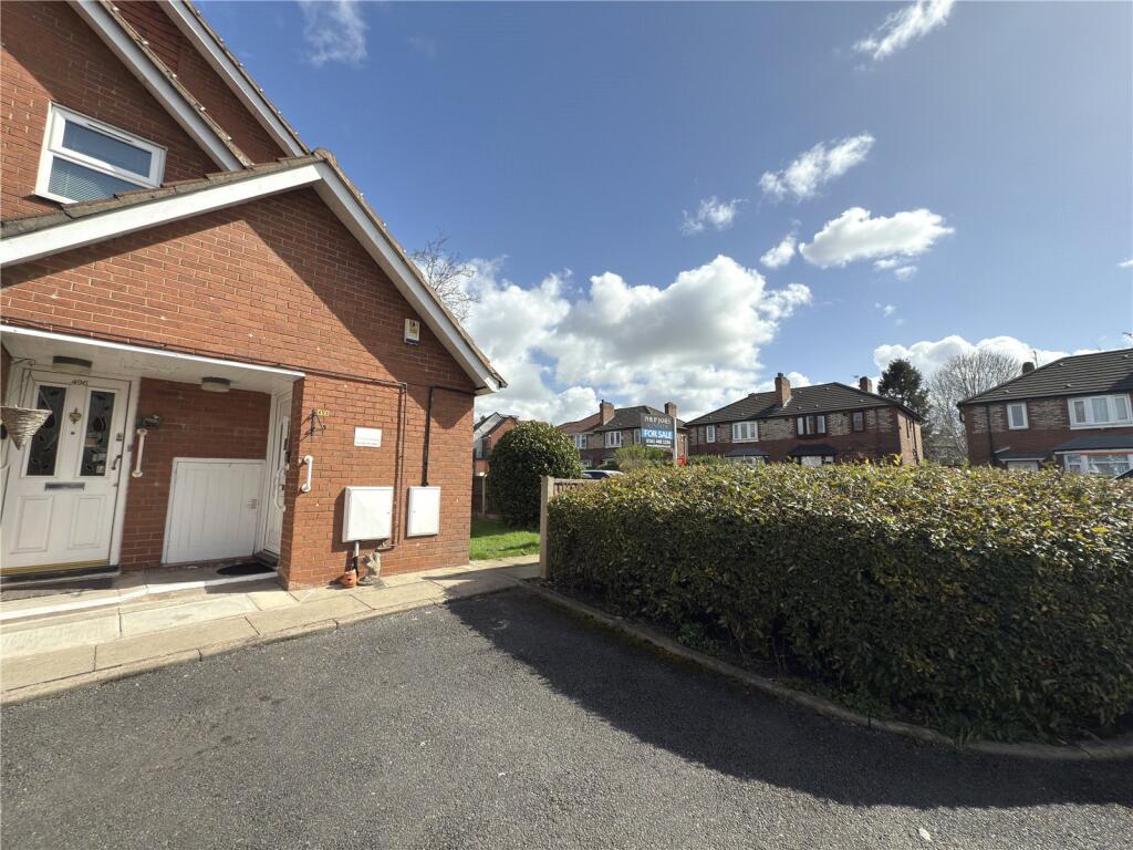
The property is a retirement property located in Burnage, Manchester. It is a 1-bedroom, 1-bathroom property with a total area of 5,672.58 sqft. The property appears to be in good condition based on the provided images. The interior is modern and well-maintained, with updated fixtures and fittings. There is no visible evidence of damage or neglect. The property includes a small garden area. Considering the average price of properties in the area is £320,421 and the average price per sqft is £320, the list price of £79,950 for this 5,672.58 sqft property seems significantly lower than the average. However, it is important to note that the average price and price per sqft are based on properties of different sizes and types. The significantly lower price may be due to the property being a retirement property, which often commands lower prices than other property types. The property’s location near highly-rated schools and its proximity to public transportation could also positively impact its value. However, without more detailed comparative data on similar retirement properties in the area, it’s difficult to definitively assess the price’s reasonableness.
Therefore, we give this property 7 / 10. *Disclaimer: This is our option and does constitute a recommendation or financial advice. Do your own research. *
- Price
- 7
- Condition
- 9
- Location
- 8
- Land
- 6
- Bedrooms
- 1
- Bathrooms
- 1
- Sqft (est)
- 5,672.58
- Lot (est)
- 5,672.58
The heatmap indicates the level of crime in the area. The color of the heatmap indicates the crime severity and recency.
Metrics Year-on-Year
- Average area value
- 320,833.00 £Increased by 5.35 %
- Est sale value
- 2,910,033.54 £Increased by 67.10 %
- Average area rental value
- 1,380.00 £/moDecreased by 15.49 %
- Est letting value
- 11,345.16 £/moIncreased by 100.00 %
- Est rental Yield
- 5.16 %Decreased by 19.75 %
- Crime Rate
- 0.00 %
Agent Activity
Philip James Kennedy created the listing.
Nearby Schools
| Name | Type | Ofsted | Distance |
|---|---|---|---|
| Burnage Academy For Boys | Academy Converter | Outstanding | 0.40 KM |
| Green End Primary School | Academy Converter | Outstanding | 0.55 KM |
| St Bernard'S Rc Primary School Manchester | Voluntary Aided School | Good | 0.57 KM |
| Burnage Sure Start Children'S Centre | Children's Centre | 0.69 KM | |
| Priestnall School | Community School | Requires improvement | 0.89 KM |
Images


Nearby Streets
| Name | Average Price | Average Sqft | Distance |
|---|---|---|---|
| Fair Oak Road | £ 350,000 | 0 | 0.00 KM |
| Kenwood Avenue | £ 370,000 | 0 | 0.00 KM |
| Errwood Road Cycleway | £ 295,000 | 0 | 0.00 KM |
| Harwood Road | £ 242,500 | 0 | 0.00 KM |
| Henley Place | £ 0 | 0 | 0.00 KM |
Nearby Transport
| Name | NLC | TLC | Distance |
|---|---|---|---|
| Mauldeth Road | 2867 | MAU | 1.11 KM |
| Burnage | 2945 | BNA | 1.37 KM |
| Levenshulme | 2862 | LVM | 2.49 KM |
| East Didsbury | 2949 | EDY | 2.64 KM |
| Heaton Chapel | 2861 | HTC | 2.74 KM |
Nearby Listings
| Address | Price | Type | Score | Distance |
|---|---|---|---|---|
| Burnage Lane, Burnage, M19 | £ 79,950 | BUY | 7 / 10 | 0.00 KM |
| Burnage Lane, Burnage, M19 | £ 67,900 | BUY | Unknown | 0.00 KM |
| Carrgreen Close, Burnage | £ 80,000 | BUY | 5 / 10 | 0.03 KM |
| Carrgreen Close, Manchester, Greater Manchester, M19 | £ 160,000 | BUY | 5 / 10 | 0.06 KM |
| Carrgreen Close, Burnage, Manchester, Greater Manchester, M19 | £ 85,000 | BUY | 5 / 10 | 0.07 KM |
Nearby Properties
| Address | Price | Distance |
|---|---|---|
| 492 Burnage Lane | £ 59,500 | 0.01 KM |
| 488 Burnage Lane | £ 53,000 | 0.01 KM |
| 532 Burnage Lane | £ 90,000 | 0.01 KM |
| 486 Burnage Lane | £ 49,950 | 0.01 KM |
| 484 Burnage Lane | £ 47,500 | 0.01 KM |