WA
Holt
By Watsons
£ 260,000
Watsons says ..
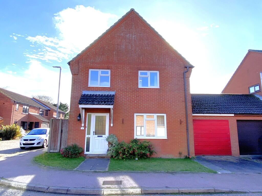
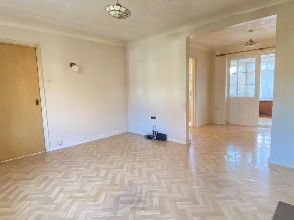
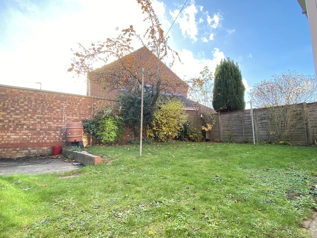
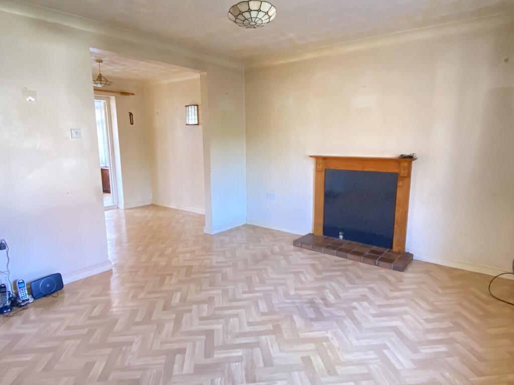
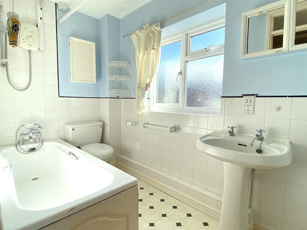
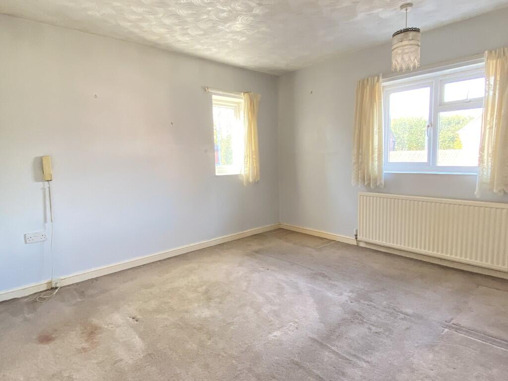
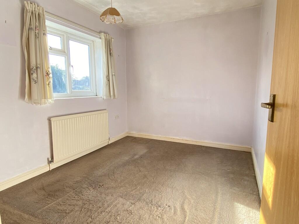
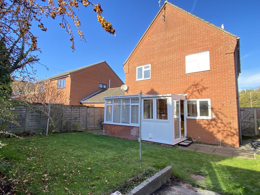
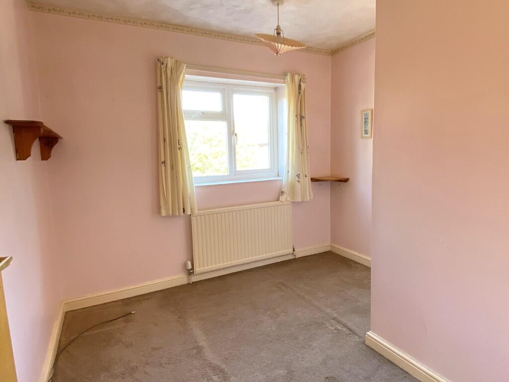
A link detached house with garage, requiring some refurbishment, nicely situated within walking distance of the town centre and Holt country park.
- Bedrooms
- 3
- Bathrooms
- 1
The heatmap indicates the level of crime in the area. The color of the heatmap indicates the crime severity and recency.
Metrics Year-on-Year
- Average area value
- 398,765.00 £Decreased by 0.35 %
- Average area rental value
- 1,263.00 £/moIncreased by 3.52 %
- Est rental Yield
- 3.80 %Increased by 3.83 %
- Crime Rate
- 22.00 %Unchanged by 0.00 %
from 400,154.00 £
from 1,220.00 £/mo
from 3.66 %
from 22.00 %
Agent Activity
Watsons created the listing.
Nearby Schools
| Name | Type | Ofsted | Distance |
|---|---|---|---|
| Corpusty And Holt Area Children'S Centre | Children's Centre | 0.33 KM | |
| Gresham'S School | Other Independent School | 1.06 KM | |
| Holt Community Primary School | Community School | Good | 1.07 KM |
| Kelling Ce Primary School | Voluntary Aided School | Good | 4.76 KM |
| Astley Primary School | Academy Converter | 7.53 KM |
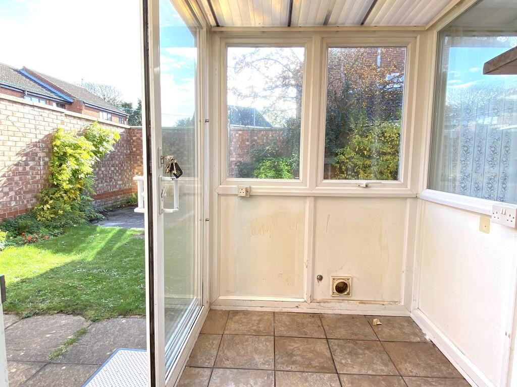
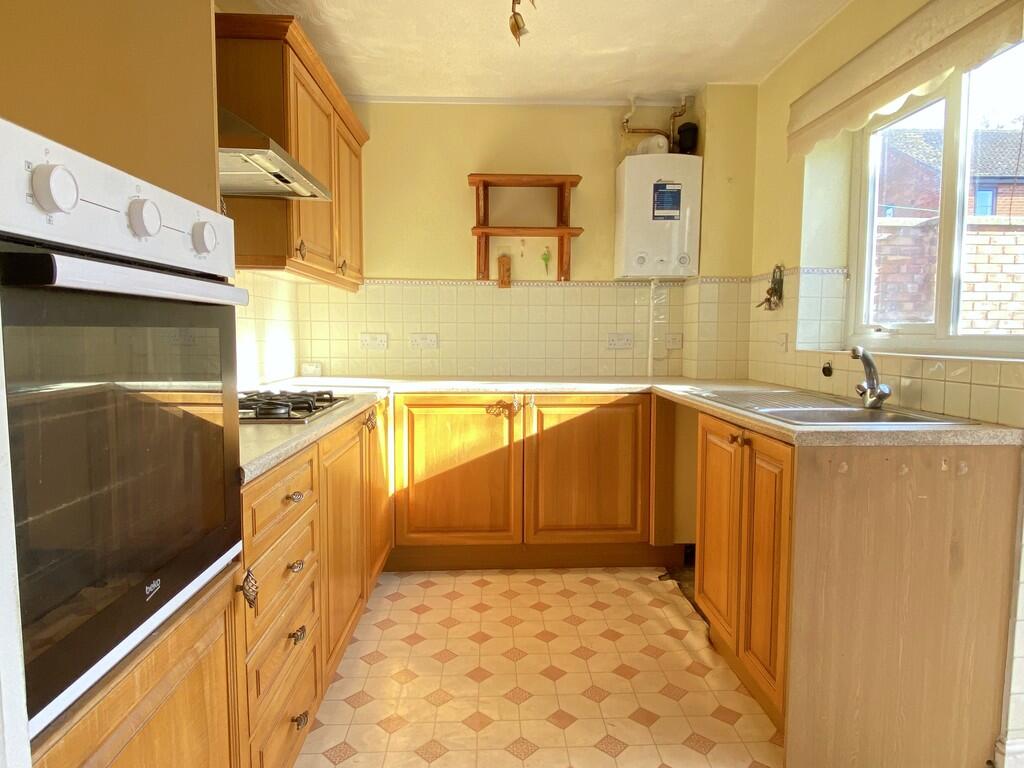
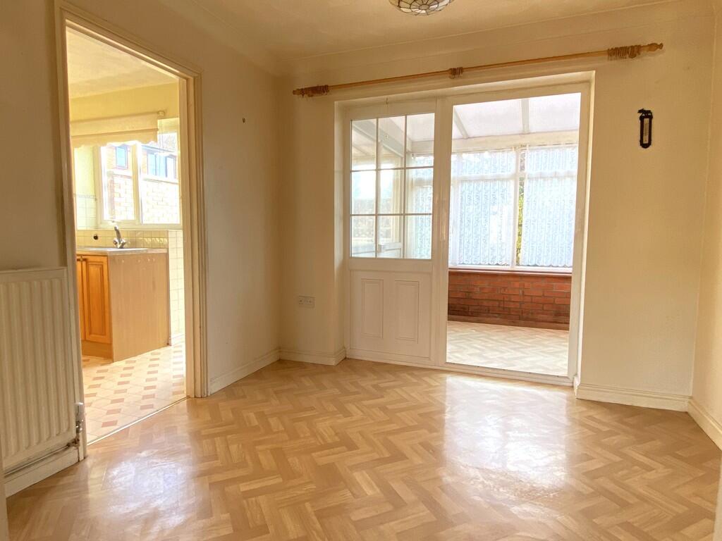
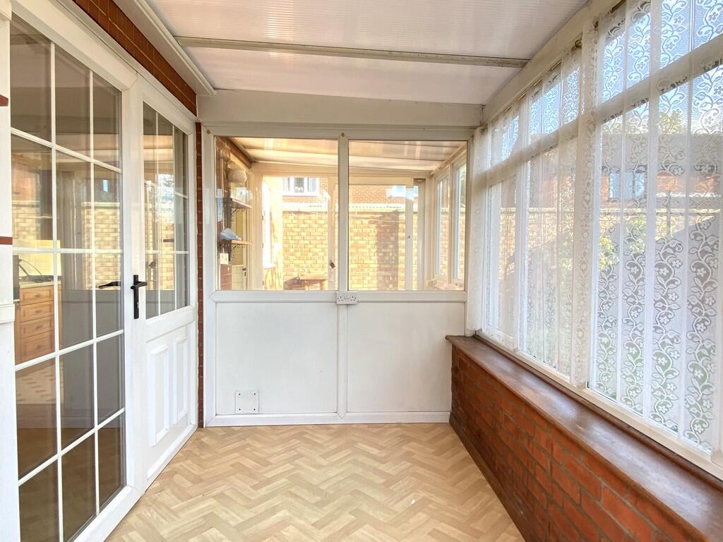
Images


Nearby Streets
| Name | Average Price | Average Sqft | Distance |
|---|---|---|---|
| Elsden Close | £ 0 | 890 | 0.00 KM |
| Coronation Road | £ 355,000 | 0 | 0.00 KM |
| Barn Owl Drive | £ 325,000 | 0 | 0.00 KM |
| Wright's Close | £ 0 | 0 | 0.00 KM |
| Church Street | £ 0 | 0 | 0.00 KM |
Nearby Listings
| Address | Price | Type | Score | Distance |
|---|---|---|---|---|
| Holt | £ 260,000 | BUY | Unknown | 0.00 KM |
| Holt | £ 155,000 | BUY | 6 / 10 | 0.03 KM |
| Gravel Pit Lane, Holt | £ 285,000 | BUY | 7 / 10 | 0.20 KM |
| St. Andrews Close, Holt | £ 450,000 | BUY | 7 / 10 | 0.20 KM |
| 50 Hempstead Road, Holt, NR25 | £ 325,000 | BUY | 7 / 10 | 0.21 KM |
Nearby Properties
| Address | Price | Distance |
|---|---|---|
| 6 Swann Grove | £ 188,000 | 0.03 KM |
| 28 Swann Grove | £ 45,000 | 0.03 KM |
| 9 Swann Grove | £ 160,000 | 0.03 KM |
| 20 Swann Grove | £ 155,000 | 0.03 KM |
| 17 Swann Grove | £ 151,000 | 0.03 KM |