I
Aspinall Street, Heywood
By I Am The Agent
£ 995
I Am The Agent says ..
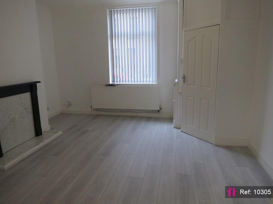
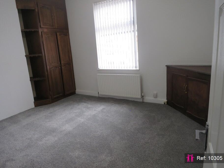
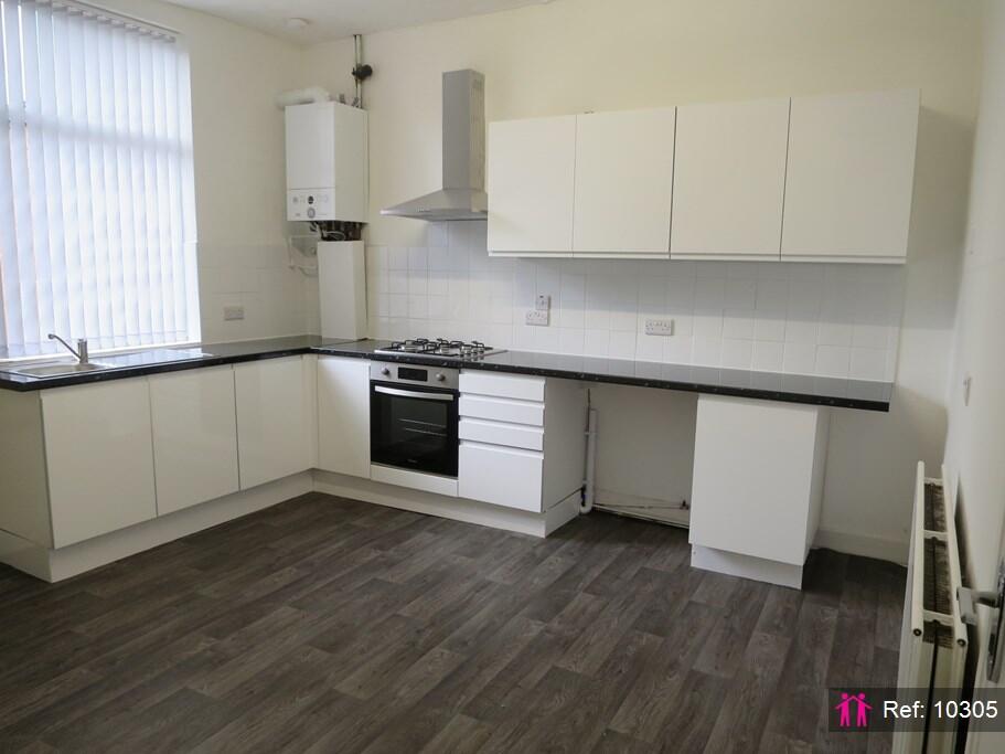
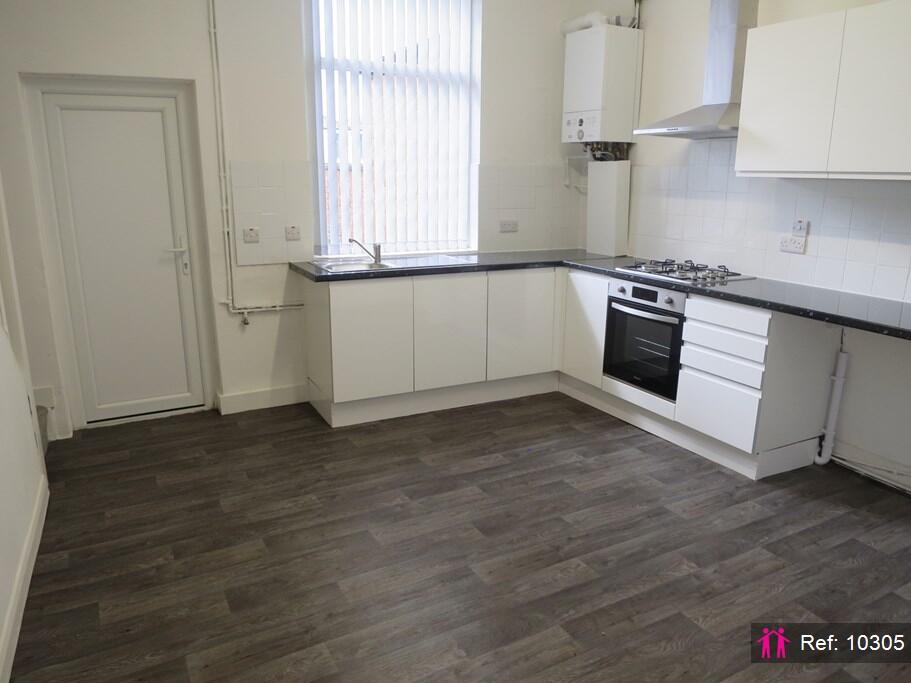
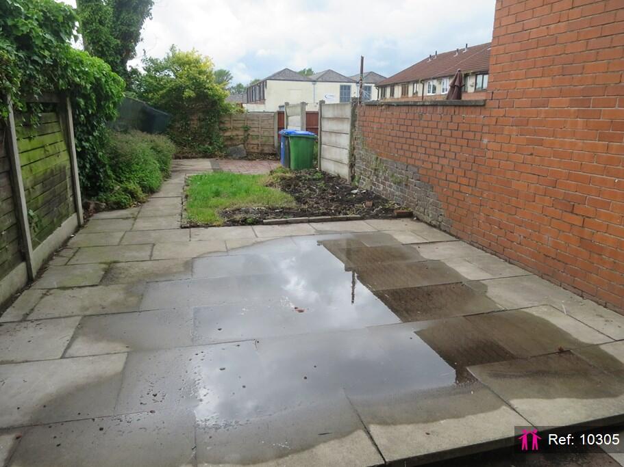
Deceptively spacious 3 bed family home with large back garden!
- Bedrooms
- 3
- Bathrooms
- 1
The heatmap indicates the level of crime in the area. The color of the heatmap indicates the crime severity and recency.
Metrics Year-on-Year
- Average area value
- 160,000.00 £Decreased by 35.02 %
- Average area rental value
- 960.00 £/moIncreased by 4.92 %
- Est rental Yield
- 7.20 %Increased by 61.43 %
- Crime Rate
- 0.00 %
from 246,229.00 £
from 915.00 £/mo
from 4.46 %
from 0.00 %
Agent Activity
I Am The Agent created the listing.
Nearby Schools
| Name | Type | Ofsted | Distance |
|---|---|---|---|
| St Luke'S Church Of England Primary School | Voluntary Controlled School | Good | 0.54 KM |
| Harwood Park Primary School | Community School | Requires improvement | 0.72 KM |
| All Souls Church Of England Primary School | Voluntary Controlled School | Outstanding | 0.81 KM |
| St Michael'S Church Of England Primary School, Bamford | Voluntary Aided School | Outstanding | 1.26 KM |
| Hopwood Community Primary School | Community School | Outstanding | 1.33 KM |
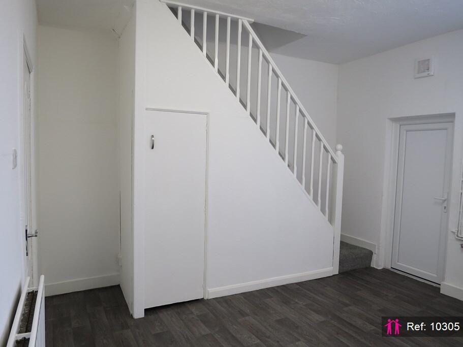
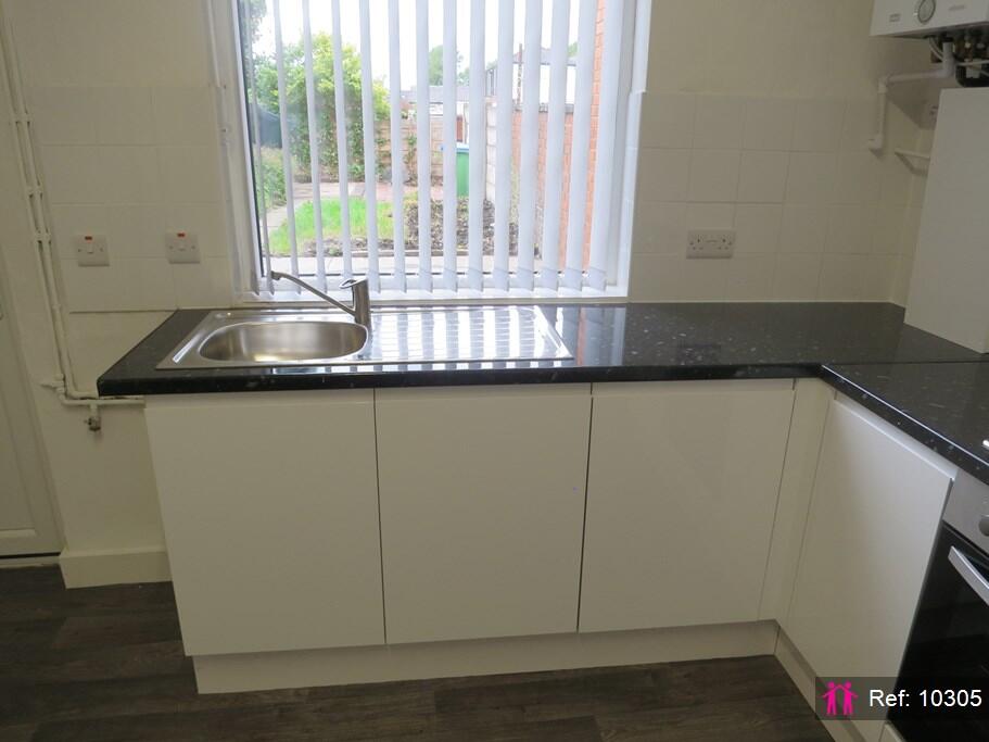
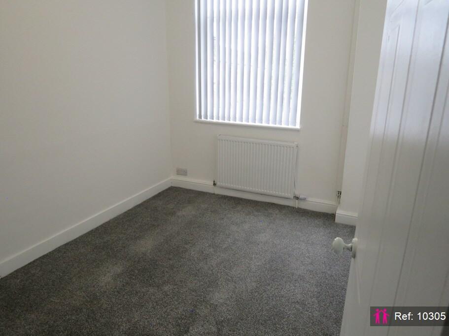
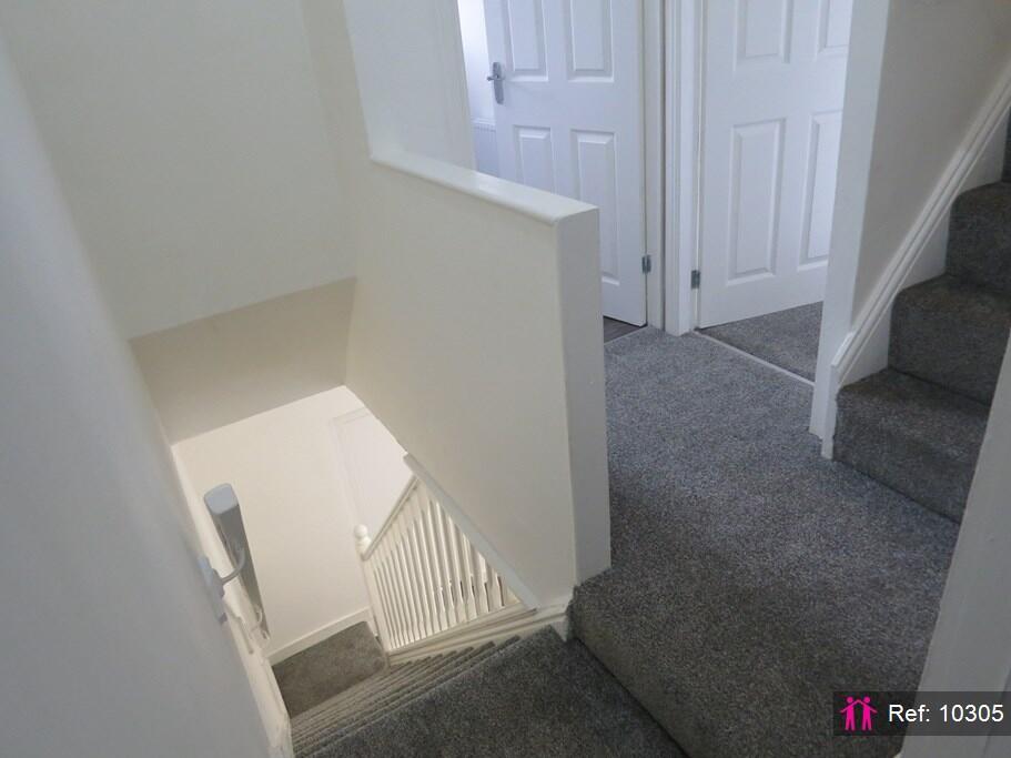
Images


Nearby Streets
| Name | Average Price | Average Sqft | Distance |
|---|---|---|---|
| Townrow Street | £ 0 | 0 | 0.00 KM |
| Grove Street | £ 160,000 | 0 | 0.00 KM |
| Rochdale Road | £ 0 | 0 | 0.00 KM |
| Willow Street | £ 0 | 0 | 0.00 KM |
| Hardman Street | £ 130,000 | 0 | 0.00 KM |
Nearby Transport
| Name | NLC | TLC | Distance |
|---|---|---|---|
| Castleton (Manchester) | 2919 | CAS | 3.76 KM |
| Mills Hill (Manchester) | 2920 | MIH | 6.62 KM |
| Rochdale | 2924 | RCD | 6.69 KM |
| Moston | 2973 | MSO | 9.17 KM |
Nearby Listings
| Address | Price | Type | Score | Distance |
|---|---|---|---|---|
| Aspinall Street, Heywood | £ 995 | RENT | Unknown | 0.00 KM |
| Tonge Street Heywood | £ 750 | RENT | Unknown | 0.10 KM |
| Tonge Street Heywood | £ 750 | RENT | Unknown | 0.10 KM |
| Aspinall Street, Heywood | £ 895 | RENT | Unknown | 0.12 KM |
| Grove Street, Heywood | £ 800 | RENT | Unknown | 0.14 KM |
Nearby Properties
| Address | Price | Distance |
|---|---|---|
| 69 Aspinall Street | £ 18,500 | 0.03 KM |
| 73 Aspinall Street | £ 140,000 | 0.03 KM |
| 58 Aspinall Street | £ 119,700 | 0.03 KM |
| 80 Aspinall Street | £ 65,000 | 0.03 KM |
| 59 Aspinall Street | £ 68,000 | 0.03 KM |